
Serving Waitsburg, Dayton and the Touchet Valley
Serving Waitsburg, Dayton and the Touchet Valley
Not exactly walking on water, but the writer did walk through the Columbia River's source before it flowed from Canada through Washington and Oregon to the Pacific Ocean.
Times Traveler Paul Ocker at the source of the Columbia.
CRANBROOK, BC - To most of us Waitsburgers, when we call to mind the Columbia River, we think of the two-mile-wide body of water at Wallula Junction, also known as the McNary Reservoir, or the same one-mile-wide river that bisects the Tri-cities that we cross on our way to Costco.
The fact that only 12 vehicle bridges cross the river between Richland, Wash. and Astoria, Ore., where it meets the mighty Pacific, demonstrates the enormity of the challenge of crossing such a river. However, walking across this river without assistance has been a bucket list item for me, and I met the challenge this past week.
About a six-hour drive from Waitsburg to Spokane, Spokane to the Canadian Border, and on to the town of Cranbrook, British Columbia, led us to our first stop of the night. My first glimpse of the Canadian Rockies whetted my appetite for our continuing trip to Canmore, Alberta. I knew we would see more of the range's towering mountains, turquoise glacial rivers, and mirror-like mountain lakes in the Kootenay and Banff National Parks.
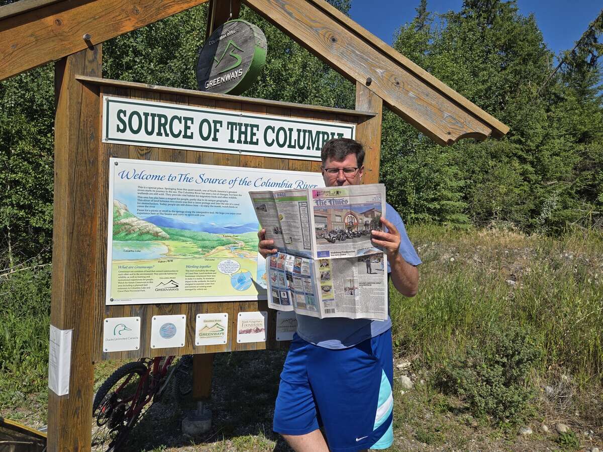
Times Traveler Paul Ocker at the source of the Columbia.
Walking through a park in Cranbrook, I used my bird app to identify an Eastern Blue Jay. The area has the closest population to us here on the West Coast. After staying the night in this touristy railroad town, we set our sights on the bucket list location.
After an hour of driving, we made it to Canal Flats, where we visited the "Source of the Columbia" local park. After a short hike on a somewhat buggy trail, we came to a wetland where water was bubbling from the ground. These springs are fed by the nearby milky Kootenay (Canadian spelling) River, which is in a different basin but higher in elevation, feeding the headwaters of the Columbia through clear springs that percolate through the soil.
Seizing my moment and ensuring that I would not be causing any environmental damage, I strode off the trail, across 50 feet of wetland, and finally over the three-foot-wide stream that is the Columbia River.
The river was never deeper than 18 inches. After I crossed, I turned around and walked back. My not-so-awestruck family members merely shrugged my accomplishment off, saying, "I'm not walking through that swamp." But I did it.
I was awed to touch water that goes into the Columbia Lake, flows about 150 miles north, then turns south towards the United States. After seeing the Columbia River as it bubbles out of the ground, I was struck by the vast irrigated fields along its shores, where grasses and Alfalfa for livestock feed are grown; resorts and golf courses that line the river, as it flows towards Mica Reservoir; then turns south through two dams in Canada; and 12 more dams and reservoirs on the US side of the border.
Within a few months, it will run under the Astoria-Megler Bridge and become part of the Pacific Ocean. No part of the river is untouched by human hands, and what a life-giver it is.
Roll on, Columbia, roll on.


Reader Comments(0)